Georeferencing historic maps in QGIS
Georeferencing historic maps (Introduction to QGIS course, Part 3)
Introduction to QGIS Part 3
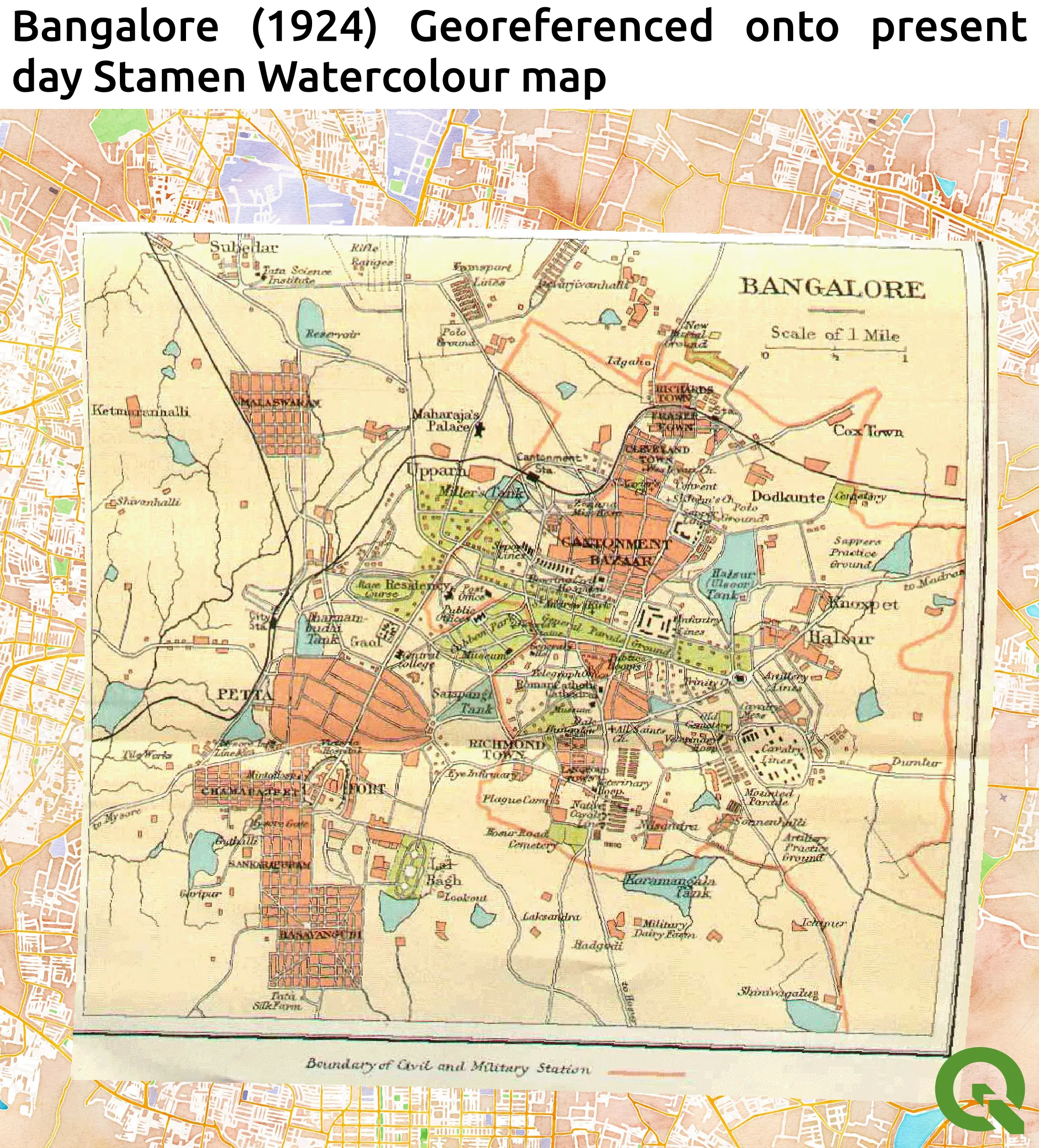
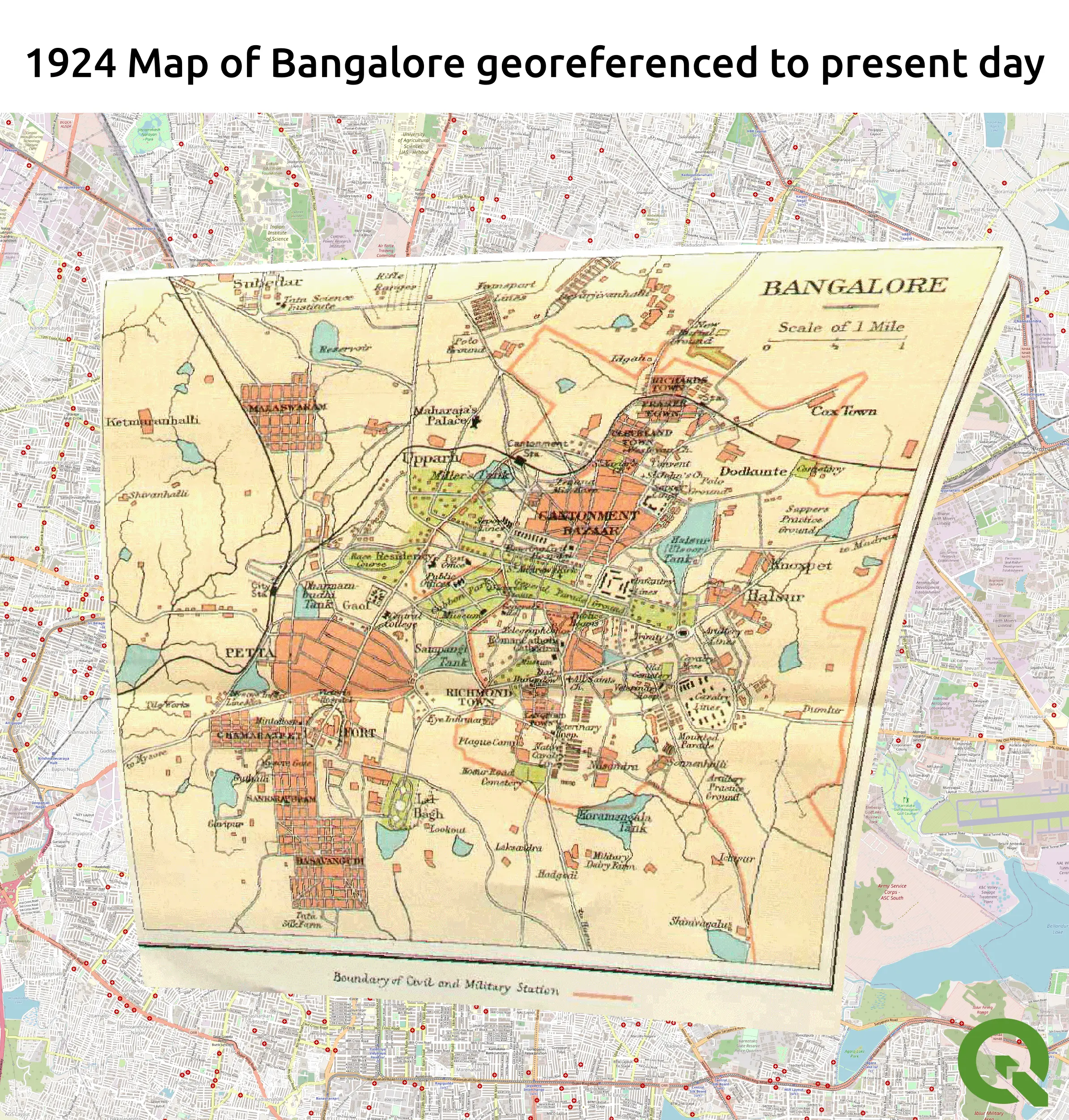
This project was part of the Introduction to QGIS course (Part 3) by Spatial Thoughts. In this section of the course, a 1924 map of Bangalore, India, was georeferenced against a modern day map. For this project, the OSM standard map was used as a base layer and the georeferencer tool was used to associate features which appeared on both the scan of the 1924 map and the modern day map. Once a sufficient quantity of points had been selected, the transformation settings were selected and the 1924 scan map was overlaid onto the modern day version. This exercise demonstrated the importance of obtaining the coordinates of a number of ground control points when conducting field studies, since accurately measured coordinates have the potential to significantly improve georeferencing capabilities. An improved attempt at georeferencing was subsequently made and overlaid onto the Stamen Watercolor map (see below).